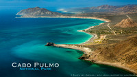
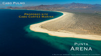
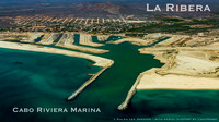
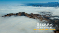
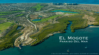
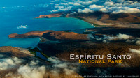
BAJA CALIFORNIA, MEXICOBaja Aerial ArchiveThe
Baja Aerial Archive provides up-to-date aerial images to individuals and organizations working toward
developing an alternative path for growth and development of
Baja California while
protecting the region’s natural resources and cultural heritage. The first
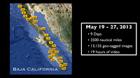
Baja Aerial Photo Expedition was successfully completed from May 19-27, 2013, with support by
LightHawk and
WiLDCOAST.
Flying LightHawk’s
Cessna 206 with doors off shooting both photos and video, this epic expedition explored the
length of Baja’s wild coast from Cabo San Lucas to San Felipe, crisscrossing the Baja Peninsula for more than
3500 nautical miles, or about three times the length of the peninsula in
just 9 days.
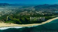
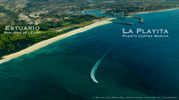
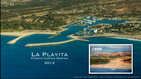
Aerial photos and video provide a
unique perspective of Baja California’s
coastal ecosystems and
remote islands.
A password-protected
archive of digital images is being created that will be managed by the
International league of Conservation Photographers (iLCP.com) and available to conservation partners working in the region.
Video productions are underway
telling the story of the LightHawk expedition showing the
wild places still in need of protection.Fundraising for the project continues and new
Founding Partners are welcome. To help with a donation, please contact
[email protected] or call (619) 309-5445 and mention you'd like to support the
Baja Aerial Archive Project.
© Ralph Lee Hopkins


